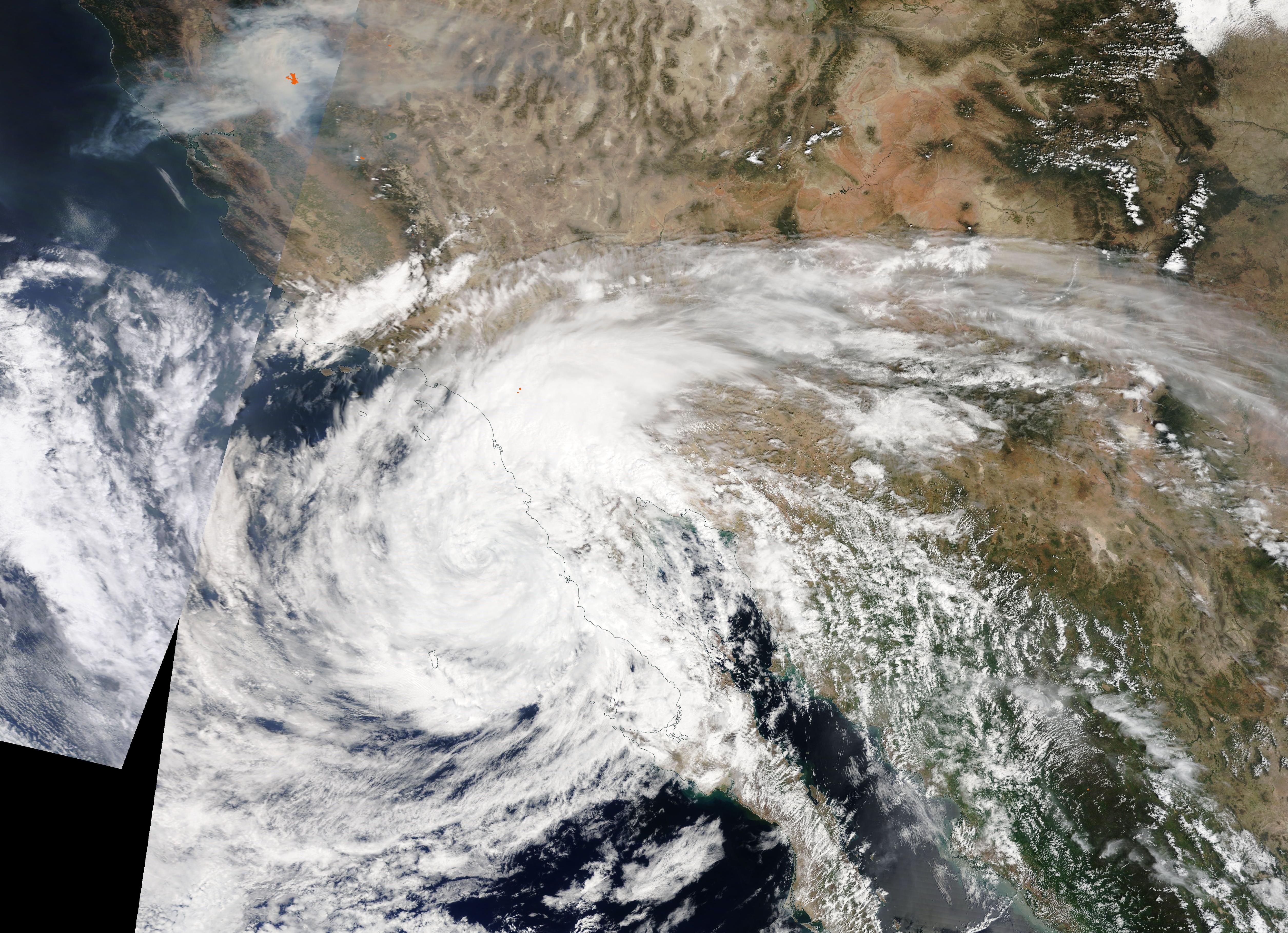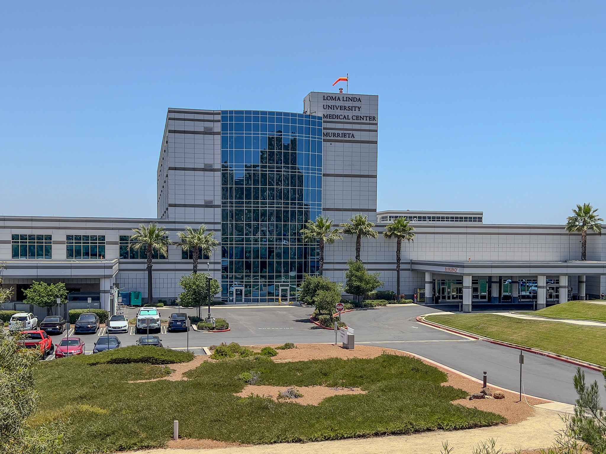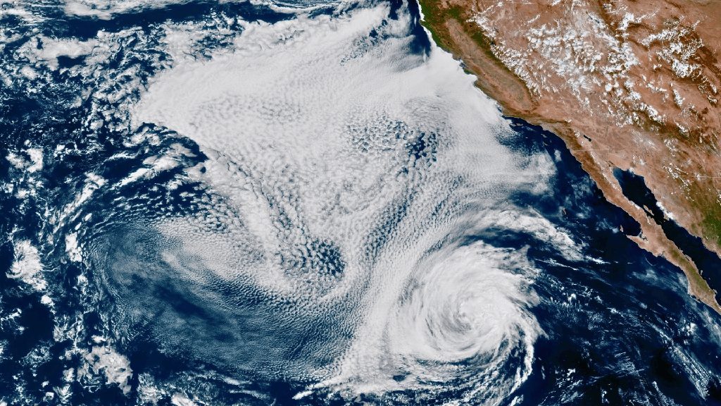
Tropical Storm Rachel pushed into Southern California early Sunday, Oct. 11, bringing heavy rain and a flood advisory to Riverside County, including Murrieta.
The National Weather Service issued the flood advisory at 12:54 a.m. Sunday, warning of flooding from excessive rainfall in low-lying and poor drainage areas across the county. The advisory was in effect until 3 a.m. The NWS also warned of rising water in small streams and normally dry arroyos, according to the Press-Enterprise.
The advisory followed a flood watch the NWS issued Saturday, Oct. 10, for Southwest Riverside County, including Murrieta, Temecula, Menifee, Wildomar and Lake Elsinore.
Separately, the NWS issued a flash flood warning early Sunday for eastern Riverside County. That warning covered Indio, Palm Desert, Coachella, Rancho Mirage, La Quinta and other Coachella Valley communities.
Issued at 2:18 a.m., the warning noted that between 0.75 and 1.5 inches of rain had already fallen in the warned area, the Press-Enterprise reported. The NWS described the threat level as "considerable" and urged residents to act immediately.
Murrieta sat in an elevated flash flood risk zone heading into the storm. Meteorologist Jason Farhang noted Saturday morning that the NWS excessive rainfall outlook had expanded its highest-risk "red" zone southward into Murrieta.
@jason61987: "The latest ERO excessive rainfall outlook flash flood guidance has significantly expanded the yellow area well offshore of San Diego and into Los Angeles County. In addition, red has dropped southward into Murrieta to Julian."
The NWS San Diego office confirmed active storm impacts as of 4:14 a.m. Sunday, with gusty southwest to west winds expected across the region. Valley areas could see gusts of 25 to 40 mph, while desert slopes faced gusts of 40 to 60 mph, according to the NWS.
As of Saturday morning, Rachel carried maximum sustained winds of 60 mph and was moving northeast at 22 mph, according to the National Hurricane Center. NWS meteorologist Casey Oswant said Inland Empire areas could receive three-quarters of an inch to 2 inches of rainfall, with mountain areas potentially getting 2 to 3 inches, the Press-Enterprise reported.
Valley News reported that motorists on Interstate 15, Interstate 215, state Route 76, state Route 79 and rural roads should watch for standing water, reduced visibility, fallen debris and sudden road closures. The NWS urged drivers not to cross flooded roadways, noting that most flood deaths occur in vehicles.
Murrieta Fire & Rescue set up free sandbags ahead of the storm at Fire Station 2, 40060 California Oaks Road, with a limit of 10 bags per household. Residents must fill the bags themselves.
Rain is expected to clear Sunday afternoon, but another weather system could bring additional showers Monday and Tuesday. Dry conditions return by Wednesday, according to the NWS.